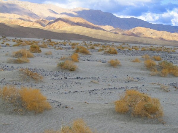
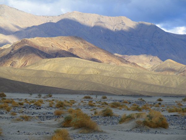
Light and shadows easily slide together on my annual pilgrimage to the world class halite digs, and the gem show, in Trona, California, during the second week of October. The southern terminus of the Inyo Mountain Range comes alive as hillocks and peaks flare in the sun, and subside. Geology is laid bare here, but what you may not catch on a cloudless sunny day, is the depth and three dimensionality of the range. This aspect is strikingly apparent, as big cumulonimbus clouds travel the skies above, like stage hands clearing the set, after a patch of winter weather left snow in the high Sierras just a couple hours ago.
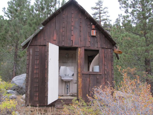
Backing up a few hours, to a time just before the winter storm hit, I’m driving past an abandoned cabin, about 6 miles up Hwy 108, from its junction with Hwy 395. An obscure book I picked up years ago in a Lone Pine, California rock shop, titled “Where to Find Rocks and Minerals in the Owens Valley, CA”, by Irma Kittle, advises that an area called Leavitt Meadows, is a “good area” featuring “agate w/black dots & sunbursts, Cinnamon obsidian, Sagenite”. I see from my map, that the meadows are about 7 miles up the Sonora Pass Highway, so I’m on my way to take a look, but can’t help stopping by this iconic little cabin, perched on a small hill overlooking the Walker River.
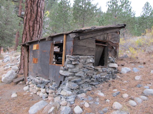
A stone’s throw from the cabin is this interesting structure – possibly a storage facility of some sort? As I understand it, there was once a vacation lodge up here, with housekeeping cabins. Now there are only these small, derelict buildings to speak of the former golden age of tourism to the Sierras. The varying elevations of the rockwork foundation suggest a real homemade style of construction. The initial groundwork migrates from using the rounded river stone which is abundant in the immediate area, to using hewn flat slabs for better structural strength, but more laborious to bring in.
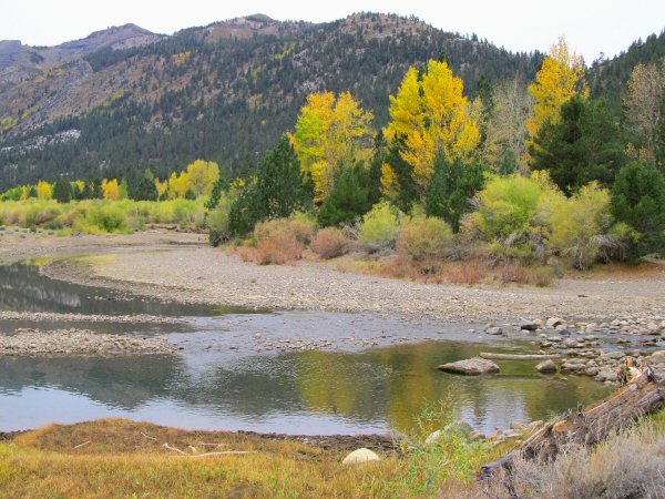
Today, during the second week of October, the tourists are absent, and the placid Walker River passes quietly by a small campground that is closed for the season. A horseback riding facility that is just upriver, is also battening down for the winter. The main meadowland looks to be on the other side of the river, so I rock-hop over, across the bar to the right in the picture, heading for some talus slopes on the other side. My rockhounding instinct tells me that if I were an agate, I’d probably hang out over there. If you have children with you, there is a footbridge that crosses the river out of the lower end of the campground.
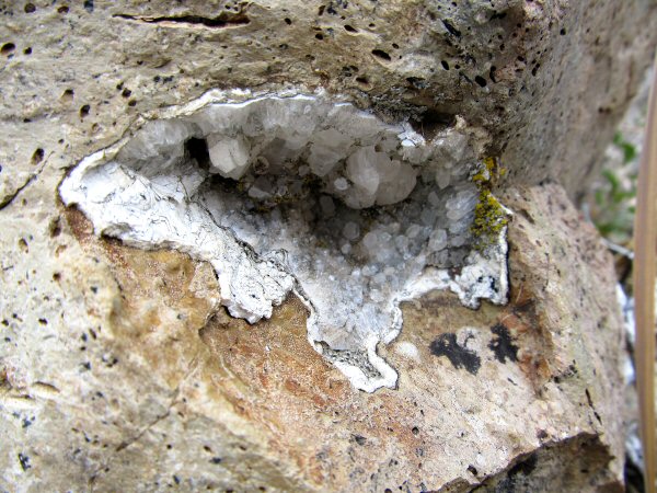
The very first place I check, at the foot of the talus slopes, shows a crystal lined vug in the vessicular volcanic rock. Other small pockets show up nearby, with some tell-tale white stringers in some of the matrix rock.
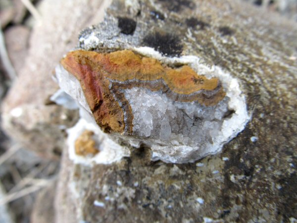
Some of the amygdules are filled in with either agate, quartz crystal, or in this case, a little of both with some interesting reddish golden fine haired sagenite.
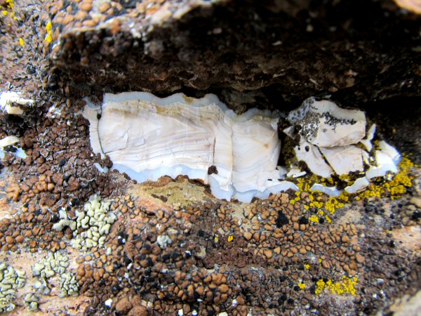
Here’s a sweet little banded agate, with alternating layers of gray, blue, and white. I didn’t see any pockets that were very large, everything seeming to come in around one to four inches in size, but there’s enough material here to make a good outing for beginning rockhounds, or families with children. Besides the possibilities of finding some interesting collectibles, you are in beautiful country, and there’s plenty of open space to explore.
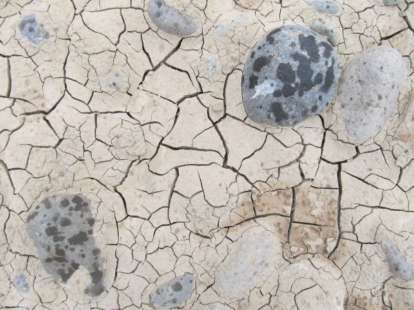
The air starts clouding up, and what appears to be the first rain of the season begins to dampen the ground, falling on the summer’s dry, cracked mud, and putting up that indescribable smell of wet rock, and earth. Unknown to me, winter is taking a first crack at the Sierras, and before I get down off the Sonora Pass road, the snow will be flying!
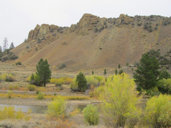
Here’s a look at the nearby agate bearing talus slope, from back on the road side of the river. I only walked along the leading edge, at the bottom of the slope, and saw a reasonable amount of little agate tidbits. I’m sure there is more material for the climber, who wants to search up the talus, or even climb to the top, where the monolithic boulders of agate bearing rock are gradually letting their treasures tumble downhill. Caution should always be used, as loose scree can cause sudden loss of footing.
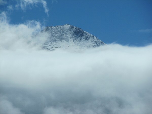
The rain chases me out of Leavitt Meadows, and I high-tail it down the road, through falling snow. But the storm doesn’t really last, and as I head down to Bishop, there are already starting to be sunbreaks, with incredible freshly snowcapped peaks appearing and disappearing through the swirling clouds, like fleeting visions of Olympus.
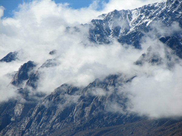
Surely, this must be where the Gods live!
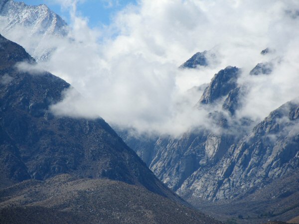
I drive down the east side of the Sierras every year, on my way to the gemshow, and field trips at Trona. Each year, my amazement is rekindled by the sheer dimensions of this mighty range. Tremendous granite peaks do an abrupt and soaring rise, off of the floor of the Owens Valley, and the younger man in me begins eyeing out routes on the mountain walls, half toying with the idea that it might not be as hard as it looks to climb one of those mountains, if you could just find the right approach. Then I look higher, above the formidable ramparts, above the clouds, to where the supreme citadels stand, unassailable in their icy raiments, and I have to concede that I am peering into the rarified, thin-air realm that only the very experienced mountaineer will ever know first hand. Alas, to be a younger man! And to climb one more glorius peak!
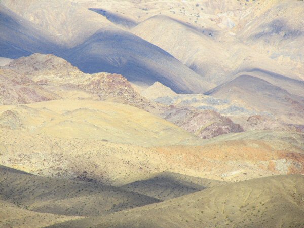
Instead of scaling a lofty summit, I keep on schedule, and drive lower into the desert valley. Here, there are colors with no names. Hills seem to undulate, like rollicking water, frozen in time. It occurs to me that landscapes, cloudscapes, rivers – these are all flows, with varying degrees of time. While it is often said that our lives are just a blink, still each moment gives a view of an infinity.
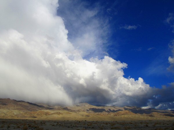
The winter storm seems to sense that it can go no further, as it drags its belly on the peaks of the southern Inyos, pummeling them with rains, but balking at stepping out into the sun dappled desert.
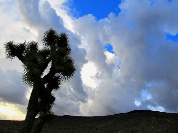
I head over to Trona via Panamint Valley, because it’s empty, loney, and beautiful that way. Just before dropping down into Panamint Valley, The first stands of joshua trees begin to crop up, waving their weird arms at a stunning sky.
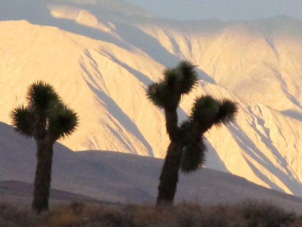
The sun flares on the furrowed slopes of the Grapevine Range, on the east side of Panamint Valley. Joshua trees stand in silent witness, as that special, peaceful time of late evening unfolds, and the western flanks of the desert mountain ranges redden in the long, low light.
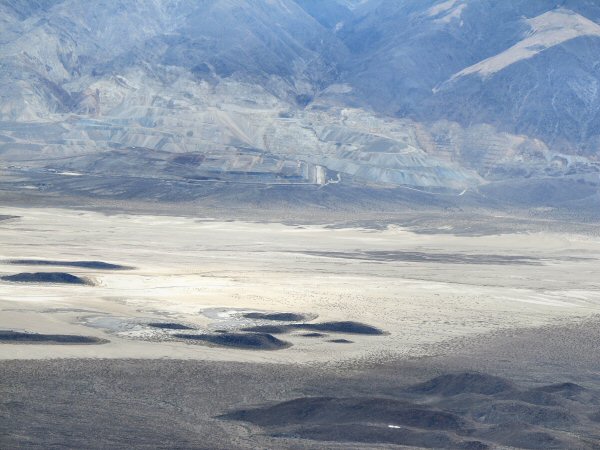
The next morning, after thunder and lightning played through the night in Panamint Valley, to the beat of soft rains, I take the Quarry Road, at the northern end of Searles Valley, which climbs to the ridgeline of the Slate Range. From the top, you get a good view of the Briggs Gold Mine, an expansive, and conspicuous open pit operation that has drawn fire from environmentalists. The mine has produced over 550,000 ounces of gold since production began in 1996.
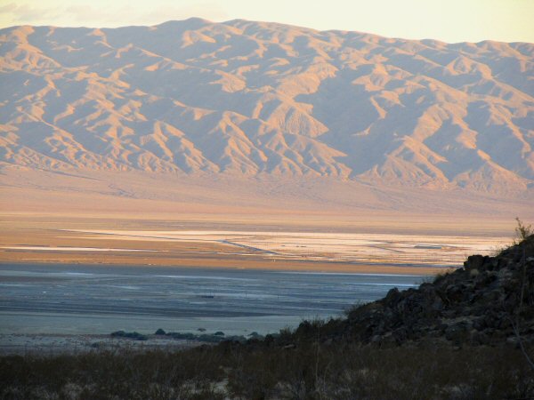
After setting up my show at the club building in Trona, I head for the hills behind the town, to scout for a route that will take me close to Argus Peak, where locals have reported smoky quartz outcroppings. Here the red blush of evening stops my explorations for the day, and I get a view of Searles Dry Lake, where we will be slaving away, collecting halite in a couple of days.
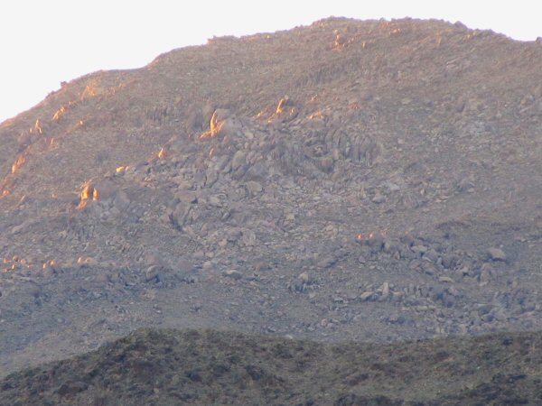
Ahead of me, and looming tantalizingly close, yet still so far, are the ramparts of Argus Peak. The quartz crops out high up on the shoulder of the peak, and the Argus Range is roadless wilderness. All forays into this country must be done on foot through steep and treacherous terrain. I’ve tried several years in a row to get up there, but my attempts have been thwarted. Tonight, I stand in the deepening dusk, and peer at that shoulder, another year older, but still desirous of my chance.
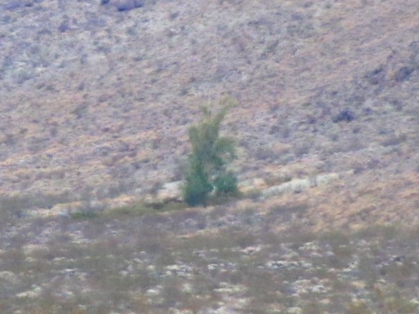
Up the large wash that comes down along the south flank of Argus Peak, I can see Christmas Tree Spring, about a half mile or so distant. It’s tempting to think that one might find a route to Argus up this wash, but it is said that the Navy has sensors in the area, and if you are picked up beyond Christmas Tree Spring, you will be taken to Barstow, and detained for three days. Not a good way to finish a rockhounding expedition!
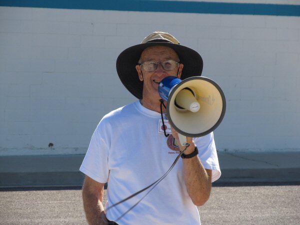
Jim Fairchild, of Searles Valley Chemicals, is the Searles Lake field trip leader. He, along with his wife, Bonnie, and a handful of others, are pretty much solely responsible for the outstanding collecting opportunities that have been offered to rockhounds during the 2nd weekend of October, for decades. Jim begins and ends the timed field trips via instructions over the megaphone. I’ve lost count of the number of times he’s yelled at me with that darned contraption, telling me that my time is up, and I need to GET OFF THE LAKE!
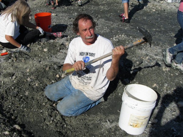
Out on the lake, the first field trip has begun. Stan Esbenshade, an Arizona mineral dealer uses a unique trowel to search for rare sulfohalites, scraping through the piles of salt, mud, and brine that were spewed out of the blowpipe for the 600 rockhounds that attend this outing. Another Arizona dealer approaches Stan and advises him that he is only scratching in “gibbely gravel”. Stan raises his mud encrusted trowel, protecting his turf, and makes a grim reaper style swing through the air. The encroaching dealer backs off. (wink)
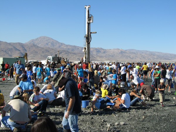
In one of the most unique field trips that a rockhound could ever take, the Searles Valley Chemical crew uses a drill rig complete with blowpipe, to jet brine and crystals out in a 360 degree ring, onto the flat pan of the lakebed. Before they can pump, a hole must be drilled in the salt crust, and explosive charges must be detonated under the salt pan, to loosen up the hanksites and other crystals. Then the blowpipe is inserted in the hole and pressure is pumped under the surface, firing a gushing stream of crystals out into the air, to land about 30 feet away from the pipe. Collectors rush in to scoop up the newly deposited treasures.
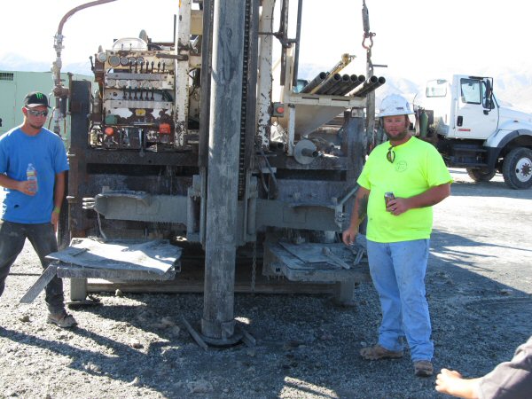
A closer look at the drill rig shows how the pipe is inserted into the salt crust, down to the reservoir of hanksites, halites, and boraxes below.
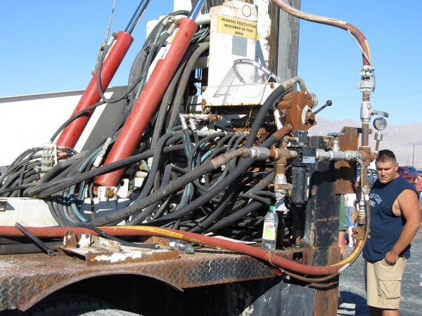
A look at the rigging of the drill truck. You would not want to have to do a field repair on this baby!
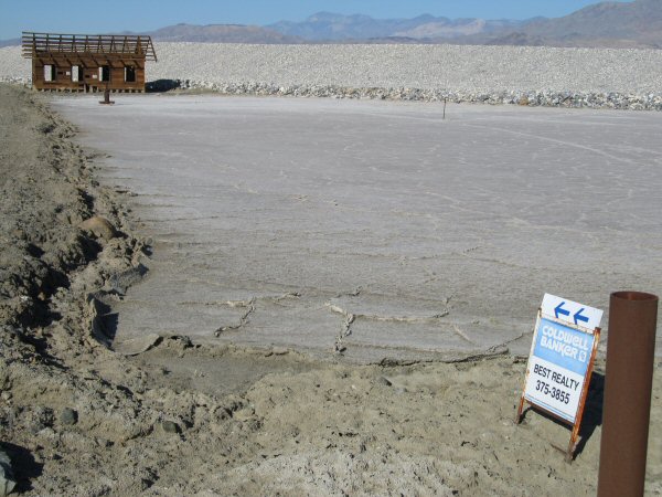
Getting off the lake, we pass by some prime lakefront real estate!
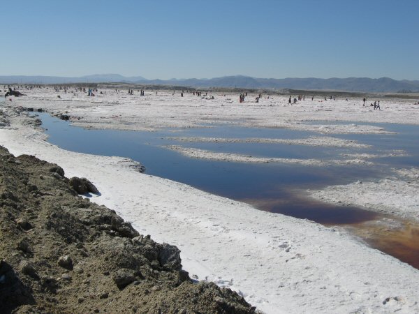
On Sunday, we all get to have at it again. 600 rockhounds spread out quite well in the expansive pink halite collecting area. This year is exciting because we are collecting at a brand new area which Jim calls “the pond effluent area”, but which I have come to call “the rose petal area” because the halite that comes out here has a lovely rose pink color that is delicate and beautiful. Halite is abundant, and nobody goes home empty handed.
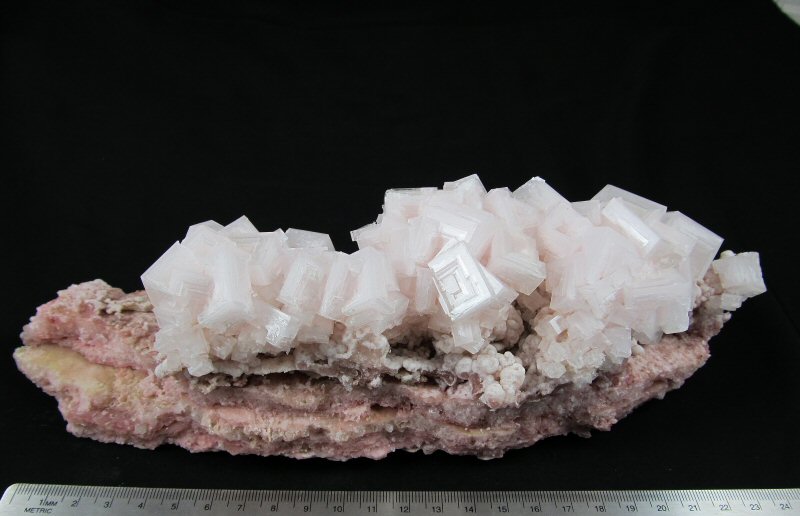
A gorgeous example of pink halite that was collected from the “Rose Petal Area” during the field trip. Note the botryoidal area just right of center, below the cubic hopper crystals. I pulled up some salt plates that were just covered in this interesting bubbly formation, and I had not seen this before in the old traditional collecting zone.
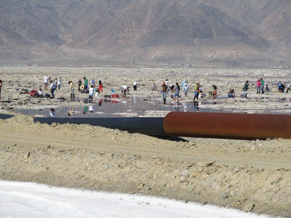
At the north end of the Rose Petal, or Pond Effluent area, some diggers cross over the service road, and begin pulling up some very nice clusters of dark pink, to red halite. Before long they are joined by others, and in no time at all, it’s “ants in the sugar bowl” over there. Note the large culvert style pipe in the foreground. A network of these monster pipes is used by the company to manage solution flows out on the lake bed.
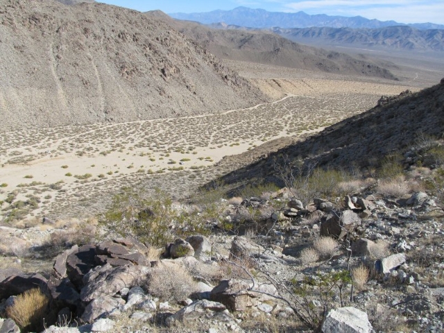
On Monday, after the show, I have some time on my hands, and I am still itching to try to get to the quartz deposits up on Argus Peak. I approach from the Great Falls Basin route, as there is a trailhead here that gains some elevation, before giving out in the upper granite wilderness, below the shoulder of Argus. I take the trail up out of the Great Falls Basin wash, and when it ends, I rock hop through the wilderness for a mile and a half or more, gaining as much elevation as I can, and trending in a generally southward direction.
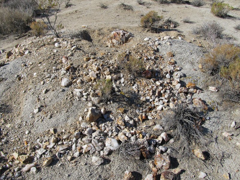
All of a sudden, I start seeing quartz! Here, a partially exposed knob of white rock quartz has been dug out by either rockhounds, or early miners who were up here in search of gold.
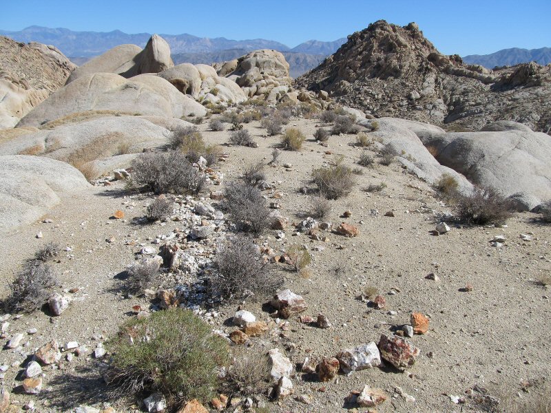
Multiple quartz veins are present in the host granite here, some of them over a foot thick. The quartz seems to be located within an area that is about 1/4 mile wide, and 1/4 mile long, and is weathering out, high up among the granite domes. I don’t find any large crystals here, and there is none of the rumored smoky quartz in this particular area, but there is a lot of nice druzy quartz, much of which has a high degree of sparkle in the bright sunlight.
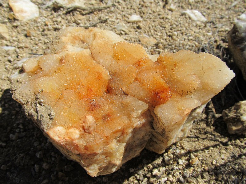
A nice botryoidal druzy quartz, pleasantly colored by iron oxides, is alive with sparkle, though my camera doesn’t convey this very well.
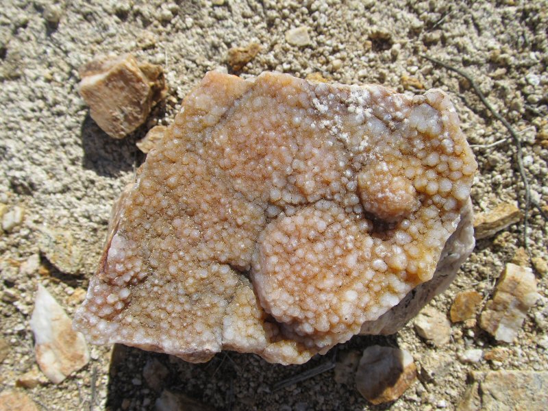
Some of the druzy quartz had a nice peach-purplish coloration.
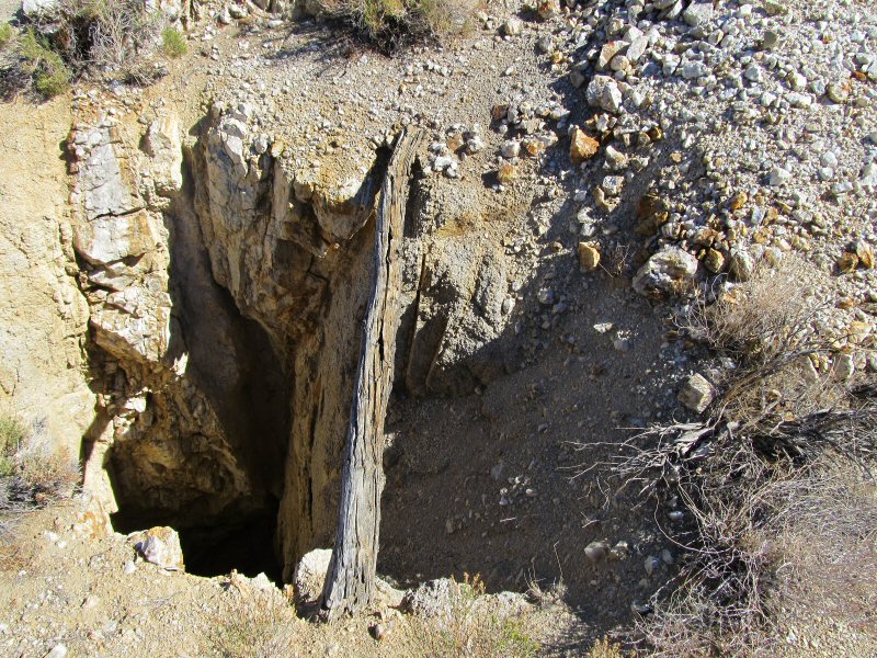
I spot one mine shaft in the quartz area, plunging at least 40 feet straight down, following a massive quartz seam, visible on the far wall. Those early miners in this area had strong willpower, and perseverance. Imagine hauling 100 cubic yards of material up out of a hole, using only a bucket lashed to a timber at the top of the hole. There were no roads, and no machinery in the early days of prospecting the Argus Peak wilderness. A Trona local, who worked in the early days as a “powder monkey” and later as a prospector, told me that all the old mines in this area are hand dug.
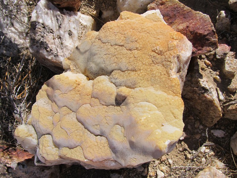
A lovely, large botryoidal quartz with marvelous coloration proves too big to conquer with my backpack. I’ll have to come back with my helicopter! (wink) There is lots of druzy and botryoidal material here, and the area is largely untouched by rockhounds, due to the remote location. If you have a chance to get out here, this is a fun trip.
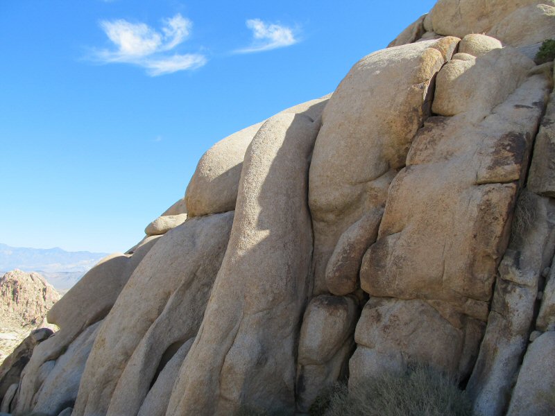
One thin cloud in the sky is not enough to cut the still 90+ degree temps of mid October. Creamy granite knobs begin to bake in the afternoon sun, and my water is mostly used up, having gained 1500 feet of elevation in a couple of miles, and having done a couple more miles of bouldering. Looks like I’m not going to gain another 1000 feet of rugged elevation on up to the smoky quartz area on the high shoulder of Argus Peak. For 2013, My plan is approach that zone from Indian Joe Canyon (slightly more direct, but straight up with no trail), focus on gaining the el, and not get too distracted by druzy quartz. Next year, I’m going to make it!
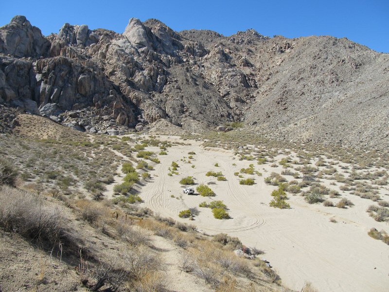
There is precious little time in a year, to wander these desert wilderness areas, and this years trip was made possible through the kindness of a Trona neighbor, Gail Austin, who did me the big favor of lending me his 1940’s jeep. It’s the best rig I have been in for navigating the deep sandy washes. Back at the bottom of the Great Falls Basin trailhead, looking due west, the mountain wall forms an amphitheater of sorts and juts abruptly from the soft sandy floor. Seven waterfalls cascade down through the notch in the wall, during a rain, giving the place it’s name.
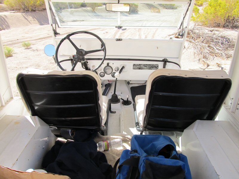
A view into the interior of the jeep. Note the custom made howlite stick shift knobs. If there is a rockhound heaven, it might look something like this! Happy hounding!

